2020-02-22
Documenting Iceland
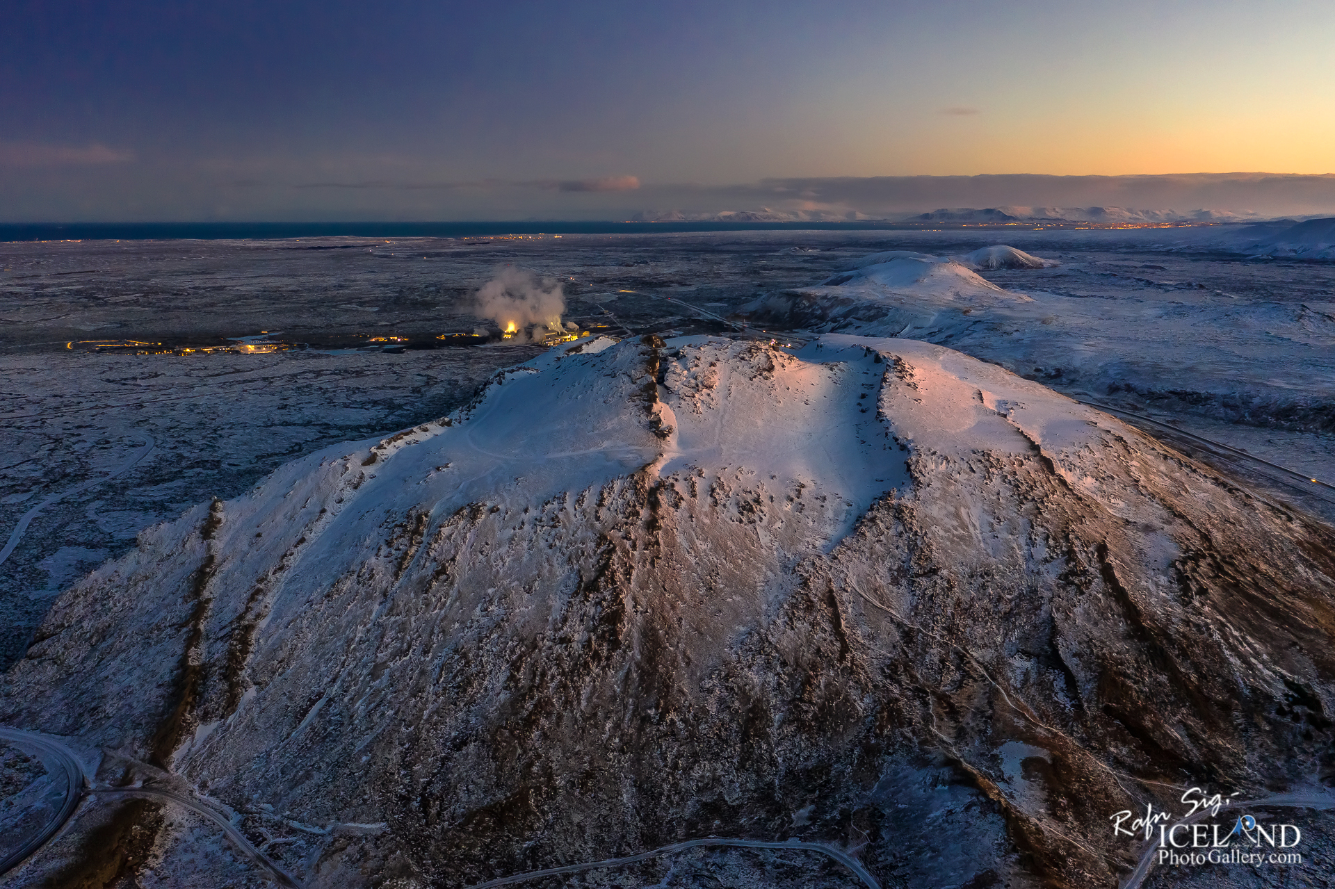
Þorbjörn Mountain │ Iceland Landscape winter twilight Photo from air
by: Rafn Sig,-
Þorbjörn or Þorbjarnarfell is a mountain just north of Grindavík that was created during the ice age by eruption under a glacier. It is made of tuff and is 243 meters high. The mountain is not a volcano, but stands on a volcanic belt.
Þjófagjá is called a crack in the middle of the mountain. Northwest of Þorbjarnarfell is a geothermal area, where there is the Blue Lagoon and Svartsengi. In the northern part of the mountain there is forestry and is called Selskógur. At the top of Þorbjörn are masts. The large mast, approx. 40 m high, is from the Air Service and others from Siminn. The latest mast, which was built in 2009, serves Síminn’s mobile connection. In addition, there is a broadcast from the Radio.
On January 26, 2020, the level of civil protection was activated near the mountain. An unusually large amount of land has risen on the Reykjanes peninsula , 3 to 4 mm per day, and was the highest land risen recorded in the area since measurements began. It was thought to be an indicator of lava accumulation at a depth of several kilometers.
The last eruption in this area was in the years 1211-1240 (Reykjaneseldar), during which the eruption formed a great lava flow over the whole area.
.. . . If you would like to join my team of Documenting Iceland, You are welcome: . . . https://www.patreon.com/RafnSig
You can buy this and other photos at my Icelandic Stock Photo Web: IceStockPhotos.com
As a native photographer I feel responsible to leave all I can behind to show how it looked like, with my photography, before it’s too late.


Great content! Super high-quality! Keep it up! 🙂