2021-11-01
Fjallabak Nyrðri │ Iceland Photo Gallery
Documenting Iceland
by: Rafn Sig,-
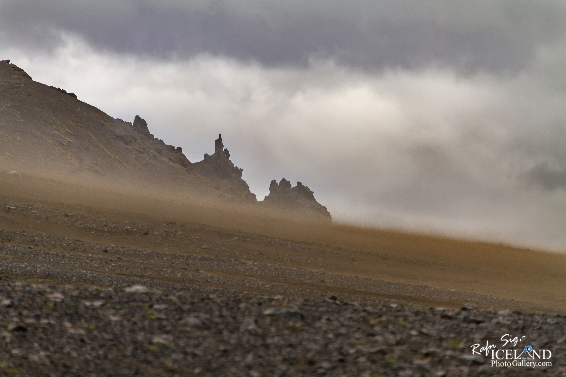
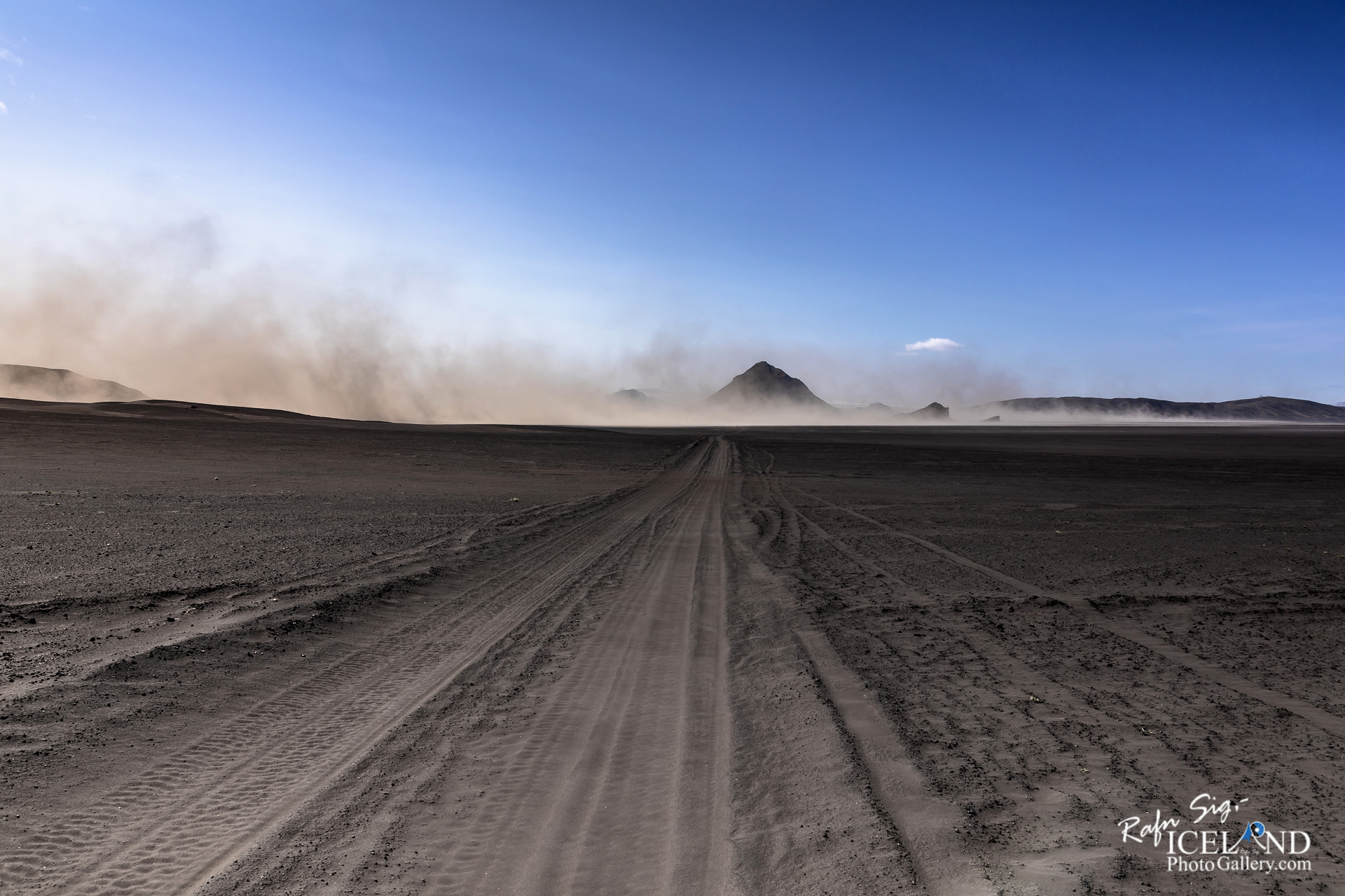
Þegar þú eyðir eins miklum tíma upp á hálendinu eins og ég geri er hætta á því að þú lendir í allskonar veðrum og uppákomum. Hér er ég á ferðinni þegar snögglega veðrið breyttist úr rjómablíðu í heiftarlegan storm með miklu sandroki. Fyrir mér er mikið myndefni að finna í svona veðri og reyni ég að nota það til hins ýtrasta.
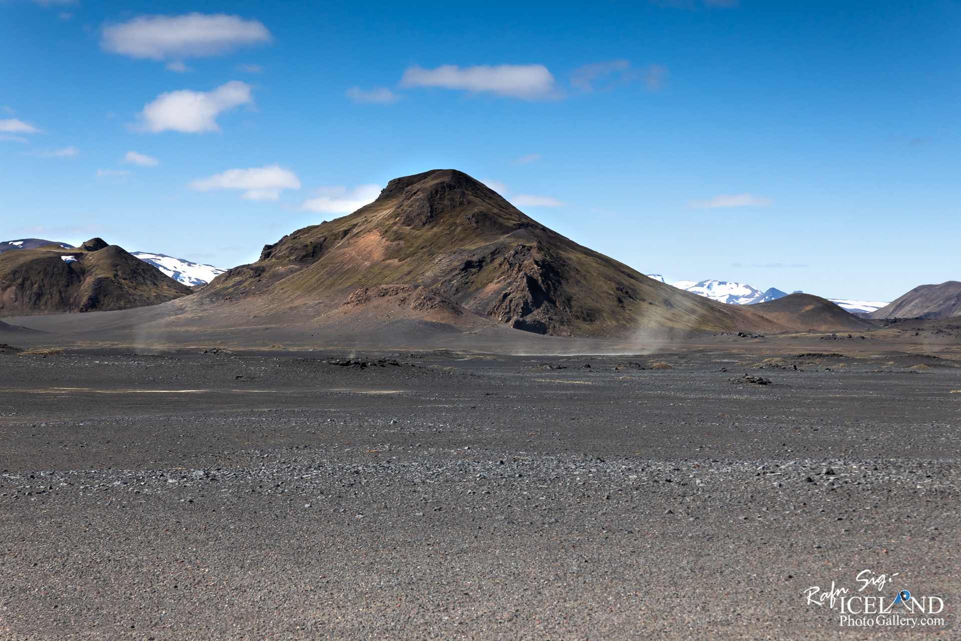
Friðland að Fjallabaki eða Fjallabak er hluti hálendis Íslands sem er norðan Mýrdalsjökuls norður til Landmannalauga og Hrauneyja. Það var gert að friðlandi árið 1979. Fjallabak er bakhlið fjalla eða svæðið hinum megin fjalla. Svæðið er 47 ferkílómetrar og þekkt fyrir stórbrotna og einstæða náttúru. Svæðið er yfir 500 metra; fjöllótt og einkennist af eldvirkni, hverasvæðum, hraunum, ám og vötnum. Það er mjög litríkt og eru þar meðal annars bergtegundirnar ríólít, hrafntinna og móberg. Síðast gaus þar á 15. öld norður af Landmannalaugum. Gróður er af skornum skammti og takmarkast að mestu við ár og vötn.
Vegna hins kalda veðurfars í friðlandinu er vaxtartími plantna vart nema tveir mánuðir á ári og jarðvegsmyndum er ákaflega hæg. Í jarðveginn vantar fullrotnuð og veðruð efni. Hann er því grófur og sundurlaus og vindur og vatn bera hann auðveldlega úr stað. Sandfok er mikið á svæðinu og í eldgosum kaffærast stórir hlutar þess í hrauni og ösku. Ef allir þessir þættir eru hafðir í huga og að Landmannaafréttur hefur verið beittur um langan aldur, kemur það engum á óvart hve friðlandið er gróðurlítið. Samfelldu gróðursvæðin eru frekar smá og þau stærstu og grösugustu í grennd við ár og vötn, t. d. Kýlingasvæðið sem er nær samfelldur flói með pollum og tjörnum og ýmsum votlendisplöntum. Hinn súri líparít-berggrunnur er gróðurlaus á stórum svæðum en móbergsfjöllin eru aftur á móti víða gróin fagurgrænum gamburmosa upp á eggjar.
When you spend as much time up in the highlands as I do, you run the risk of encountering all kinds of weather and incidents. Here I am on the move when the abrupt weather suddenly changed from creamy to a fierce storm with a lot of sand. For me, a lot of footage can be found in such weather and I try to use it to the fullest.
The Fjallabak Nature Reserve was established in 1979. The Nature reserve is 47.000 hectares and is over 500 meters above see level. The land is mountainous, sculptured by volcanoes and geothermal activity, covered by lavas, sands, rivers and lakes. The objective of Nature Reserve is to protect natural features so that forthcoming generations will have the opportunity to enjoy them as we do today.Volcanic activity in recent times (last 10.000 years) has been restricted to a few northeast – southwest fissures, the most recent one, the Veiđivötn fissure from 1480, formed Laugahraun (by the hut at Landmannalaugar), Námshraun, Norđurnámshraun, Ljótipollur and other craters which extend 30 km, further to the north Eruptions in the area tend to be explosive and occur every 500 – 800 years, previous known eruptions being around A. D 150 and 900.
Because of the cold climate in the Nature Reserve the vegetation’s growing period is only about two moths every year and the formation of soil very slow. The soil is deficient in fully rotted and weathered minerals and is therefore rough and . . . All info at: https://www.patreon.com/RafnSig
Subscribe to my Youtube Channel
You can buy this and other photos at my Icelandic Stock Photo Web: IcelandStockPhotos.com
As a native photographer I feel responsible to leave all I can behind to show how it looked like, with my photography, before it’s too late.




0 Comments