
2021-01-13
By the Vogsós riverbank – Iceland Landscape Photography
Documenting Iceland
by: Rafn Sig,-
English below
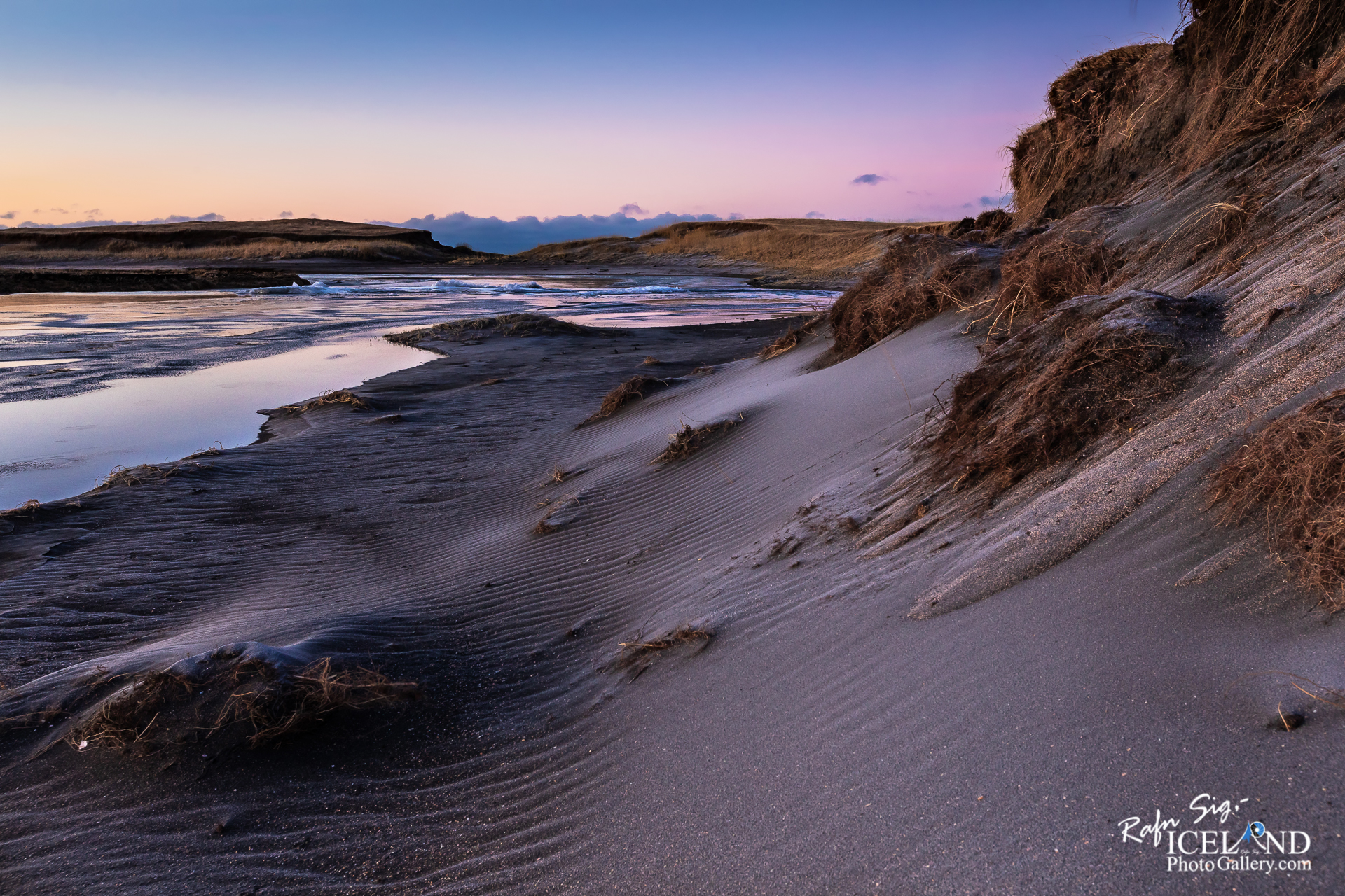
Hlíðarvatn er stöðuvatn í vestanverðum Selvogi. Það er 3,3 km2 og 5 m þar sem það er dýpst. Í því er allmikil silungsveiði, langmest er það bleikja bæði sjóalin og vatnableikja, en urriða verður aðeins vart. Í vatninu gætir flóðs og fjöru. Vatnið liggur undir hamrahlíðum á sléttlendi við sjó. Mjótt eyði er á milli vatns og sjávar og að sunnan er afrennsli um Vogsós. Stórbrotið eldfjallaumhverfi er umhverfis Hlíðarvatn og mikil náttúrufegurð. Fjölbreytt fugla og dýralíf er einnig umhverfis vatnið. Í nágrenni vatnsins má víða sjá húsarústir, tættur og túngarða gægjast upp úr jörðinni og gefur okkur innsýn í líf fyrri alda.
– 0 –
Hlíðarvatn is a mere 3.3 km² lake in Selvogi, 1 m above sea level. Its maximum depth is 5 m, its drainage is to Vogsós
The drainage from the water is Vogsós, but no visible surface water flows into the Lake. From the volume of the water and the drainage it can be assumed that it replenishes itself in just under 39 days. However, water solvents are widely found in the water itself, creating ideal conditions for the char and its spawning. Some sources say it could flood and tide in the water, but that’s not right, locals say. Admittedly, the flood rises, but the sea does not regularly . . . All info at: https://www.patreon.com/RafnSig
Subscribe to my Youtube Channel
You can buy this and other photos at my Icelandic Stock Photo Web: IcelandStockPhotos.com
Liked it?
Take a second to support me on Patreon

As a native photographer I feel responsible to leave all I can behind to show how it looked like, with my photography, before it’s too late.

Help Support This Blog
This blog is offered free of advertising and corporate sponsors, but needs your support. Making an income in art and writing is not easy or consistent. If you find these essays useful, please consider showing your appreciation by making a small donation.


0 Comments