
2022-02-23
Hágöngulón │ Iceland Photo Gallery
Documenting Iceland
by: Rafn Sig,-
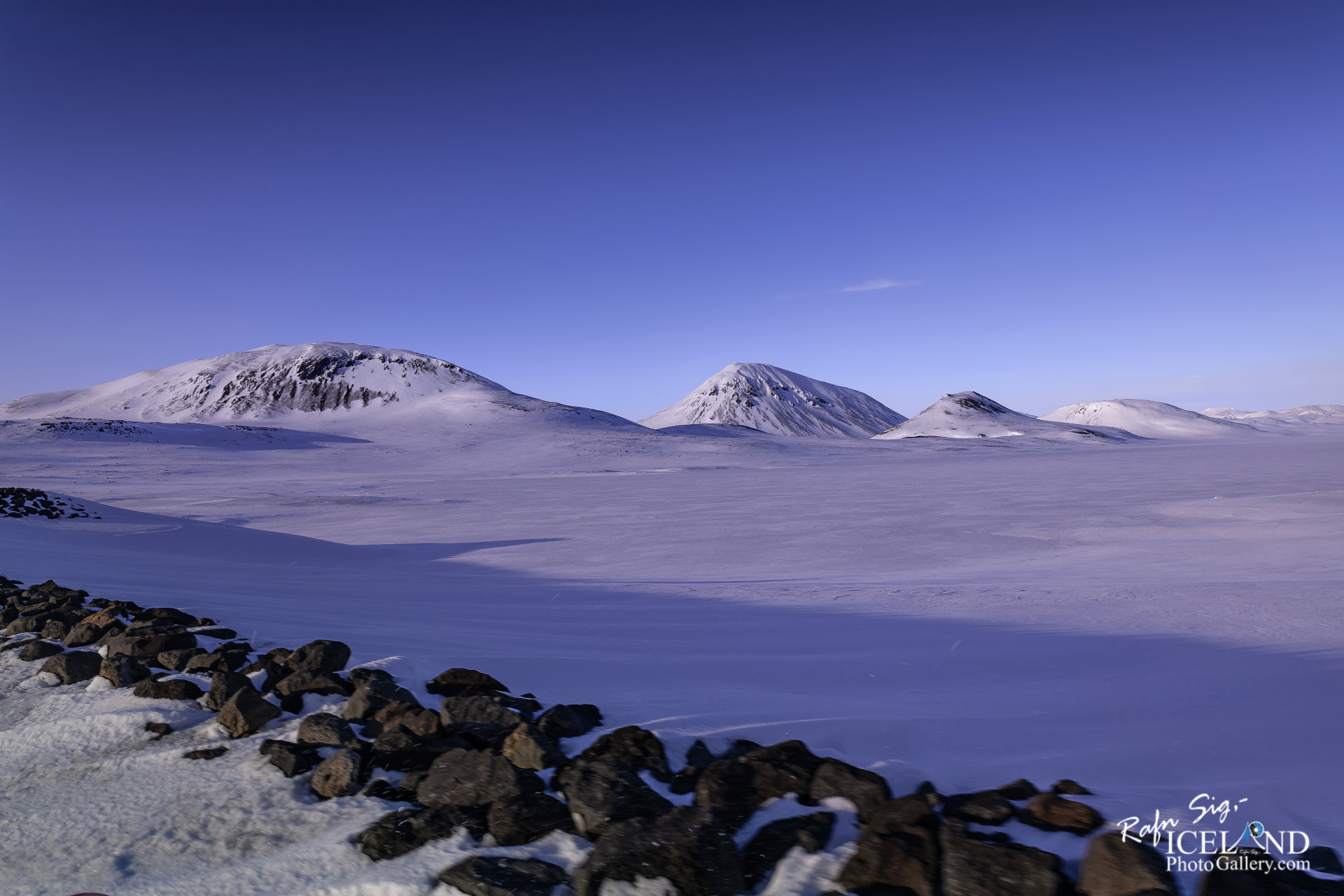
Hágöngulón er 37 m2 í um 816 m hæð y.s., um 40 km norðaustur af Þórisvatni. Á þessu svæði er lítt þekkt háhitasvæði sem að hluta til lentu undir Hágöngulóni. Frægir hverir voru þar sem lónið er núna, kallaðir Fögruhverir. Þeir voru fórnardýr græðgisvæðingar þjóðarinnar. Á svæðinu virðist vera megineldstöð og er ekki ólíklegt að í henni sé askja þótt hún sjáist ekki. Til þess benda líparítmyndanir sem raða sér á hálfboga (m.a. Nyrðri- og Syðri-Hágöngur).
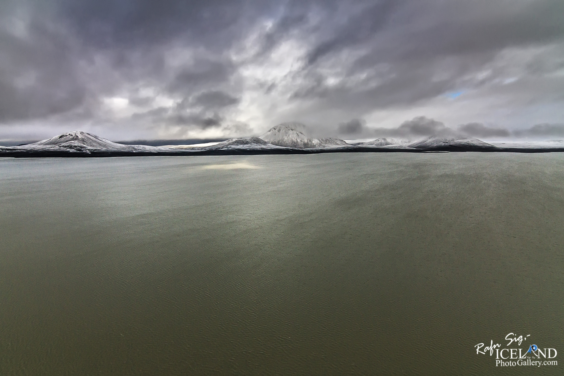
Yfirborðsjarðhiti er fyrst og fremst á þremur stöðum og tveir þeirra lentu undir vatni er Hágöngulón var fyllt. Þriðji staðurinn er vestast í Sveðjuhrauni. Köld, eldri ummyndun hefur fundist á allnokkru svæði, einkum við Kvíslarhnúka norðaustan við Hágöngulón en einnig við Hágöngurnar sjálfar.
Viðnámsmælingar benda til að jarðhitasvæðið sé 28-50 km2 að stærð og efnafræði gufunnar sem upp streymir bendir til um 300°C hita í djúpkerfinu.
Hágöngur eru háir, brattir og keilulaga líparíthnjúkar, ljósir á lit og áberandi í landinu.
Hágöngulón is 37m2 at an altitude of about 816 m above sea level, about 40 km northeast of Þórisvatn. There is a little-known high-temperature area in this area, which partly fell under Hágöngulón. Famous hot springs were where the lagoon is now, called Fögruhverir. They were the victims of the nation’s greed. There seems to be a main volcano in the area and it is not unlikely that there is a caldera in it, although it is not visible. This is indicated by rhyolite formations arranged in a semi-arc (e.g. Nyrðri- and Syðri-Hágöngur).
Surface geothermal energy is primarily in three places and two of them fell under water when Hágöngulón was filled. The third place is west of Sveðjuhraun. Cold, older transformations have been found in a number of areas, especially at Kvíslarhnúkur northeast of Hágöngulón but also at Hágöngur itself.
Resistance measurements indicate that the geothermal area is 28-50 km2 in size and the chemistry of the steam that flows up indicates a temperature of 300 ° C in the deep system.
High altitudes are high, steep and conical rhinestone ridges, light in color and prominent in the country.
. . . All info at: https://www.patreon.com/RafnSig
Subscribe to my Youtube Channel
You can buy this and other photos at my Icelandic Stock Photo Web: IcelandStockPhotos.com

Liked it?
Take a second to support me on Patreon

As a native photographer I feel responsible to leave all I can behind to show how it looked like, with my photography, before it’s too late.


0 Comments