
2020-11-05
Lakagígar Surroundings – Highland │ Iceland Landscape from Air
Documenting Iceland
by: Rafn Sig,-
English below:
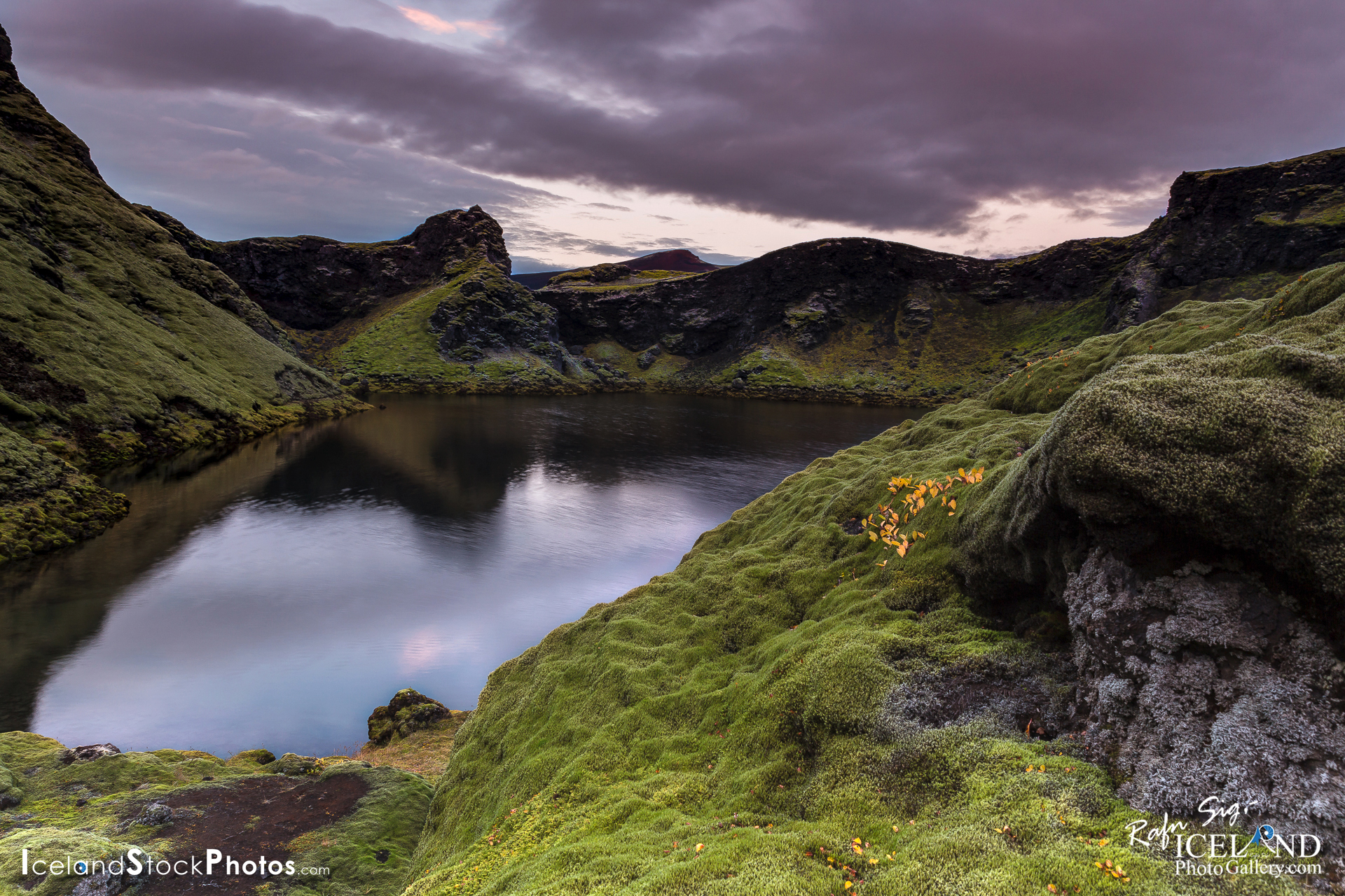
Lakagígar eru gígaröð á 25 km langri gossprungu vestan Vatnajökuls, suð-austan Fögrufjalla. Suð-vestur hluti gígraðarinnar endar ekki langt frá Eldgjá og liggur meðfram Skaftá að Vatnajökli við mót Skaftárjökuls og Síðujökuls. Gígaröðin heitir eftir gömlu móbergsfjalli sem Laki nefnist og er nálægt henni miðri. Lakagígar voru friðlýstir árið 1971. Náttúruvættið sem nú er kallað Lakagígar varð til í Skaftáreldum árin 1783-1784 en það var eitt mesta gos Íslandssögunnar. Áður fyrr var gígaröðin kölluð Eldborgir.
– o –
Laki or Lakagígar (Craters of Laki) is a volcanic fissure in the south of Iceland, not far from the canyon of Eldgjá and the small village of Kirkjubæjarklaustur. Lakagígar is the correct name, as Laki mountain itself did not erupt, as fissures opened up on. . . all info at: https://www.patreon.com/RafnSig
Subscribe to my Youtube Channel
You can buy this and other photos at my Icelandic Stock Photo Web: IcelandStockPhotos.com
Liked it?
Take a second to support me on Patreon

As a native photographer I feel responsible to leave all I can behind to show how it looked like, with my photography, before it’s too late.

Help Support This Blog
This blog is offered free of advertising and corporate sponsors, but needs your support. Making an income in art and writing is not easy or consistent. If you find these essays useful, please consider showing your appreciation by making a small donation.


0 Comments