
2020-07-24
Mountain in the Hihglands of Dómadalsleið │ Iceland Landscape Photography
Documenting Iceland
by: Rafn Sig,-
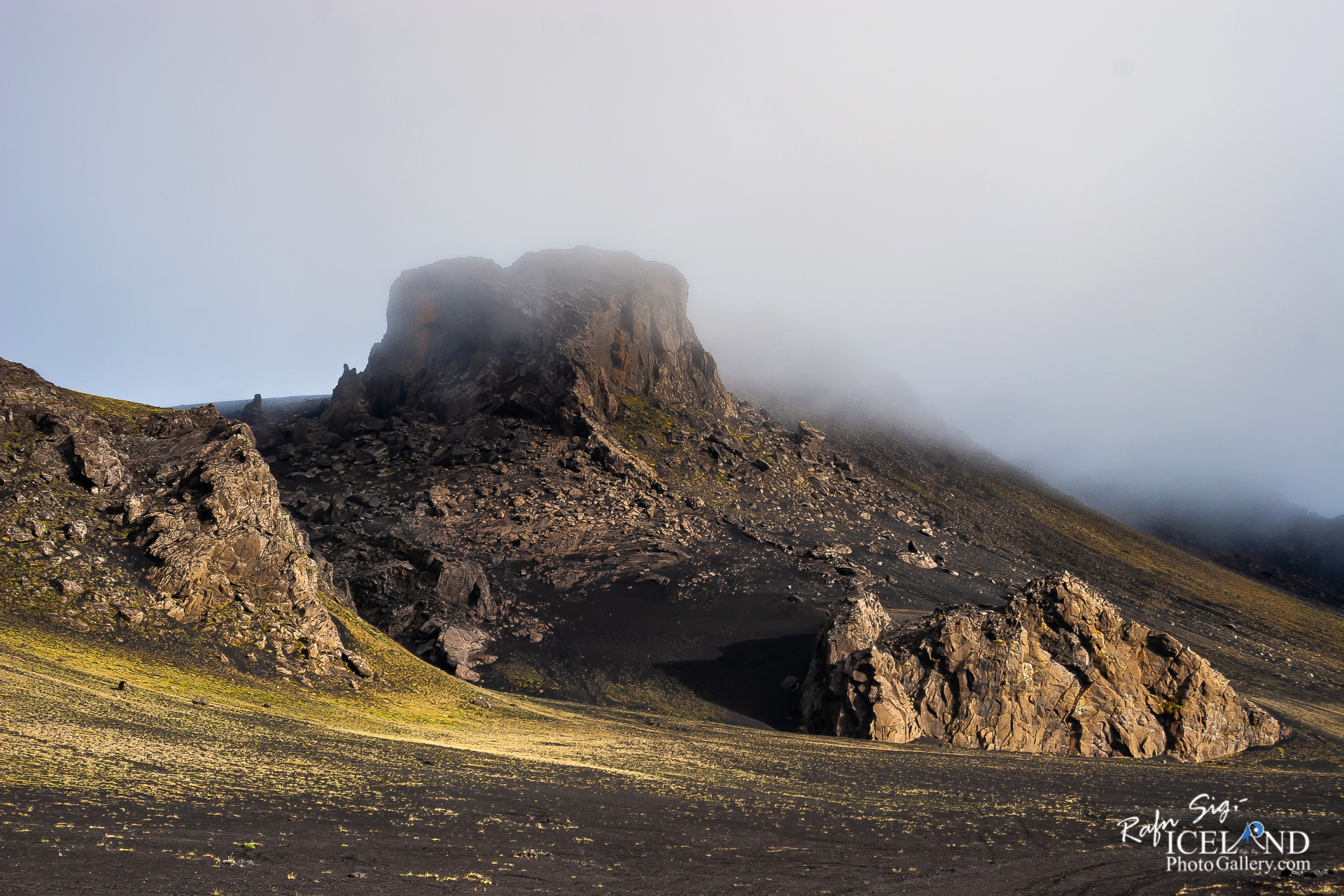
The Domadalur Route is actually the westernmost part of the ancient Landmanna Route, more frequently called “Fjallabaksleid Nyrdri”. The Domadalur Route starts east of River Thjorsa in the Solvahraun lava area and continues to Lake Frostastadavatn in the east. In the west it passes between Mt Saudafell and Mt Valafell, through Klofningar (Hekla lava field from 1878). From there, a sidetrack continues to the south to the Skjolkviahraun lava (1970) and the northeastern shoulder of the r. . . . get all the info at: https://www.patreon.com/RafnSig
Check out: Illagil Canyon at Fjallabak Nyrðri
Subscribe to my Youtube Channel
You can buy this and other photos at my Icelandic Stock Photo Web: IcelandStockPhotos.com
Liked it?
Take a second to support me on Patreon

As a native photographer I feel responsible to leave all I can behind to show how it looked like, with my photography, before it’s too late.

Help Support This Blog
This blog is offered free of advertising and corporate sponsors, but needs your support. Making an income in art and writing is not easy or consistent. If you find these essays useful, please consider showing your appreciation by making a small donation.


0 Comments