2023-02-03
Pétursmelur í Múla – Kjósarsýslu │ Iceland Photo Gallery
Documenting Iceland
by: Rafn Sig,-
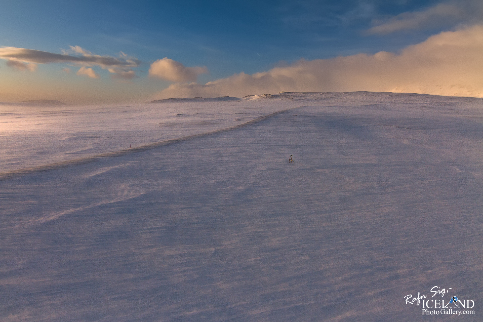
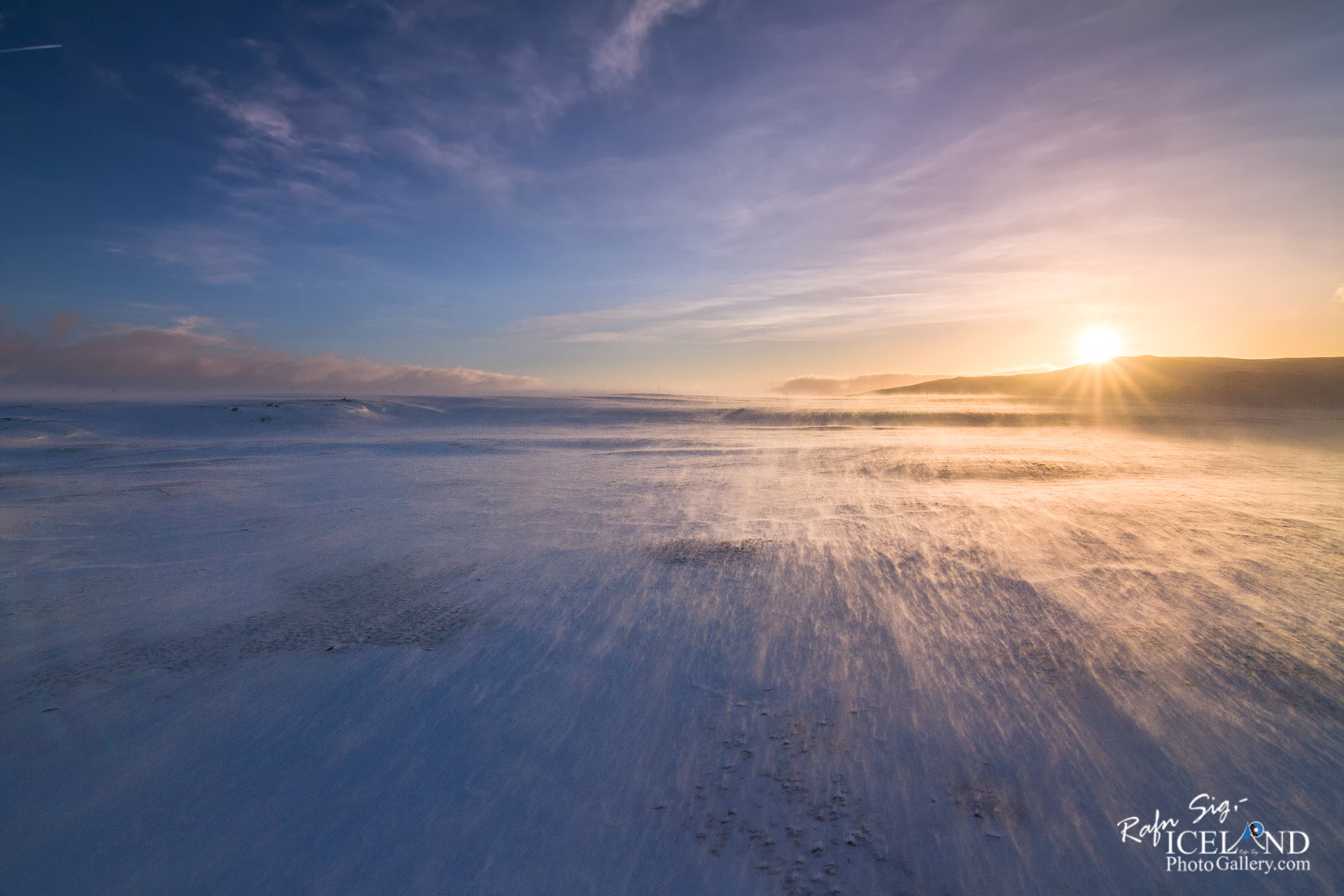
Eitt af því sem hefur alltaf heillað mig við Ísland, er að flestir staðir bera örnefni og hafa sögu á bak við sig. Stundum hef ég tekið myndir af stöðum sem mér þykir ekki merkilegir að sjá , helur hafa eitthvað við sig í núinu sem mig langar að sýna. Þegar ég fer svo að leita að nafni staðarinns þá má alltaf finna örnefnið og svo einhverja sögu þar á bakvið. Það á við um þessa mynd þó hún sýni ekkert annað en snjófjúk yfir gamlan veg upp hæð. Ísland er magnað.
– – –
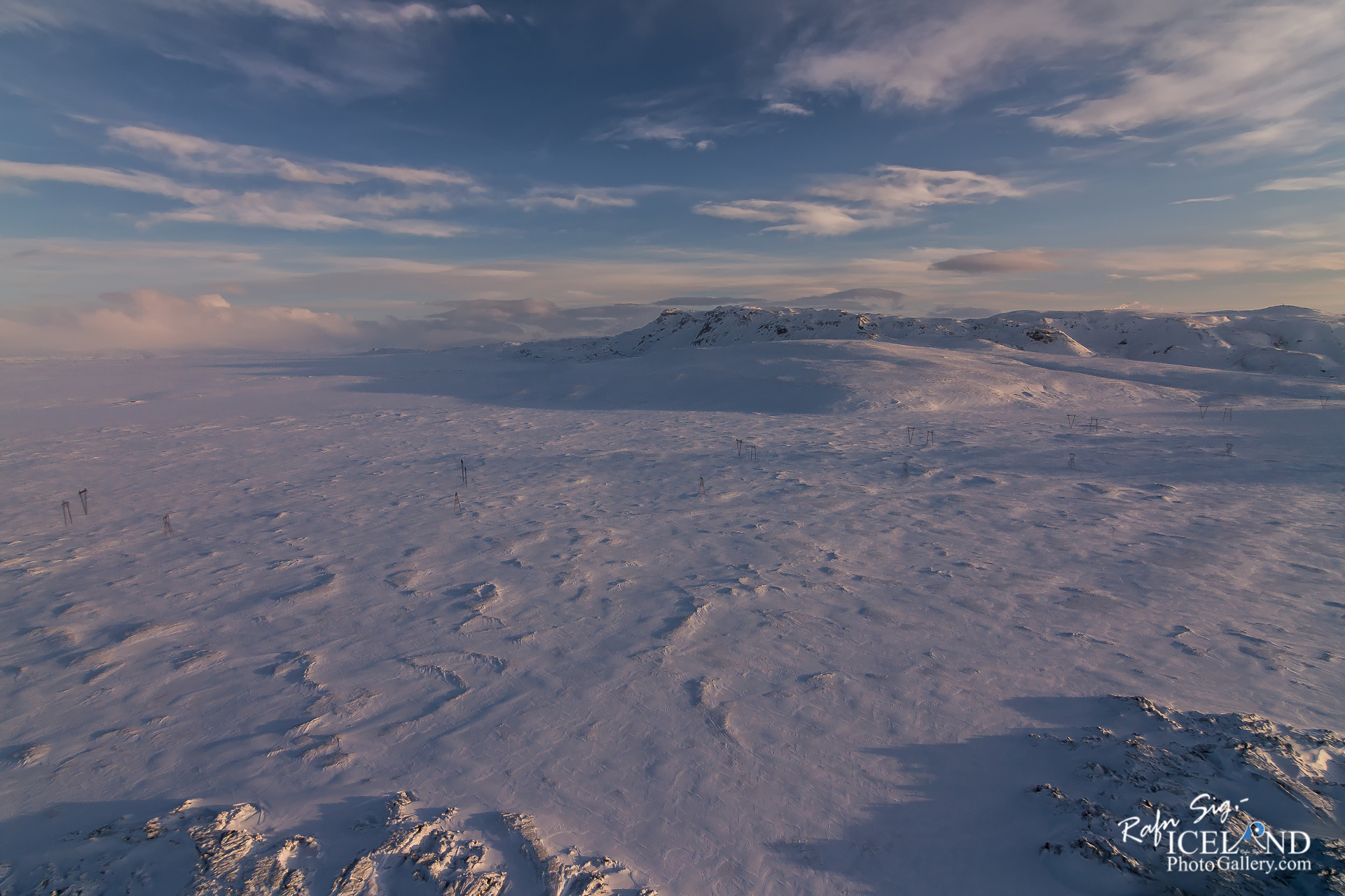
°Norðurhlíð Kýrhólshæða er snýr móti Laugarhól og liggur vestur móti dal þeim sem verður milli Skálafells og Múla, kallast Bakhæðir. Neðan þeirra rennur önnur höfuðkvíslin sem myndar Stardalsá efst í dalnum. Landi hallar talsvert vestur af Kýrhólshæðum og myndast þar lægð í Múlafjalllendið. Þessi lægð nefnist Slakki. Vegurinn upp í Skálafell liggur vestur eftir slakka þessum en sveigir þar suður eftir mel sem nefnist Pétursmelur og er alls ókunnugt um orsök þeirrar nafngiftar.
Allmikið mýrlendi og valllendi er sunnan og vestan við Kýrhólshæðir, austan við Pétursmel en norðan við núverandi þjóðveg og heitir það Silungalækir. Margir smálækir falla þaðan niður í Stórabugðuflóa og í Bugðu og er ekki örgrannt um að silungatittir hafi ratað upp þessa læki úr Leirvogsvatni. Þetta svæði var áður fyrr got slægjuland en ekki véltækt.
Ef farið er frá Slakka vestur Múlann sést sunnan í háhæðinni dalverpi sem blasir við af þjóðvegi og nefnist Djúpidalur.
„Hin forna þjóðleið lá við túngarðinn í Stardal og þaðan austur með Múla. Var farið upp með Múlanum sunnanverðum. Þessi gata var jafnan kölluð Múlagata.
(Heimild Nafnið.is – Örnefnasafn Árnastofnunar)
One of the things that has always fascinated me about Iceland is that most places have names and a story behind them. Sometimes I’ve taken pictures of places that I don’t think are interesting to see, but have something to do with the present that I want to show. When I search for the name of the place, I can always find the place name and then some story behind it. That’s also for this simple photo, even though it shows nothing but a drift of snow over an old road up a hill. Iceland is amazing if you dig into the Saga.
– – – –
°The northern slope of Kýrhólshæði faces Laugarhól and lies west of the valley between Skálafell and Múla, called Bakhæðir. Below them flows the second main branch that forms Stardalsá at the top of the valley. The land slopes considerably to the west of the Kýrhól Hills, and there is a depression in Múlafjallendi. This depression is called Slakki. The road up to Skálafell goes west along this slope, but turns south along a mel called Pétursmelur, and the cause of that naming is completely unknown.
There is quite a lot of marshland and meadowland to the south and west of Kýrhólshæðir, east of Pétursmel but north of the current highway and it is called Silungalækir. Many small streams flow from there into Stórabugðuflóa and into Bugðu, and it is not unlikely that trout have found their way up these streams from Leirvogsvatn. This area used to be fallow land, but not mechanized.
If you go from Slakka, west of Múlann can be seen to the south in a high valley that overlooks the main road and is called Djúpidalur.
“The ancient national road ran by the meadow in Stardal and from there east with Múla. Went up with the Múli on the south side. This street was traditionally called Múlagata.
(Source Name.is – Örnefnasafn Árnastofnunar)
. . . All info at: https://www.patreon.com/RafnSig
You can buy this and other photos at my Icelandic Stock Photo Web: IcelandStockPhotos.com
– 0 –
Viltu styrkja þessa síðu?
Vefsíðan Iceland Photo Gallery er unnin í sjálfboðavinnu. Ef þú hefur áhuga á að styrkja þetta framtak til áframhaldandi uppbyggingar er hægt að leggja inn á:
Reikningsnr.: 0101-26-013169
Kennitala: 310155-4469
