2023-11-17
Hagafell Mountain North of Grindavík – Magma rising │ Iceland Photo Gallery
Documenting Iceland
by: Rafn Sig,-
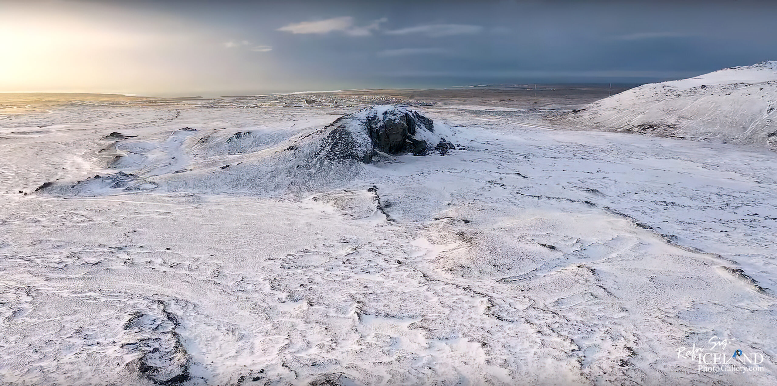
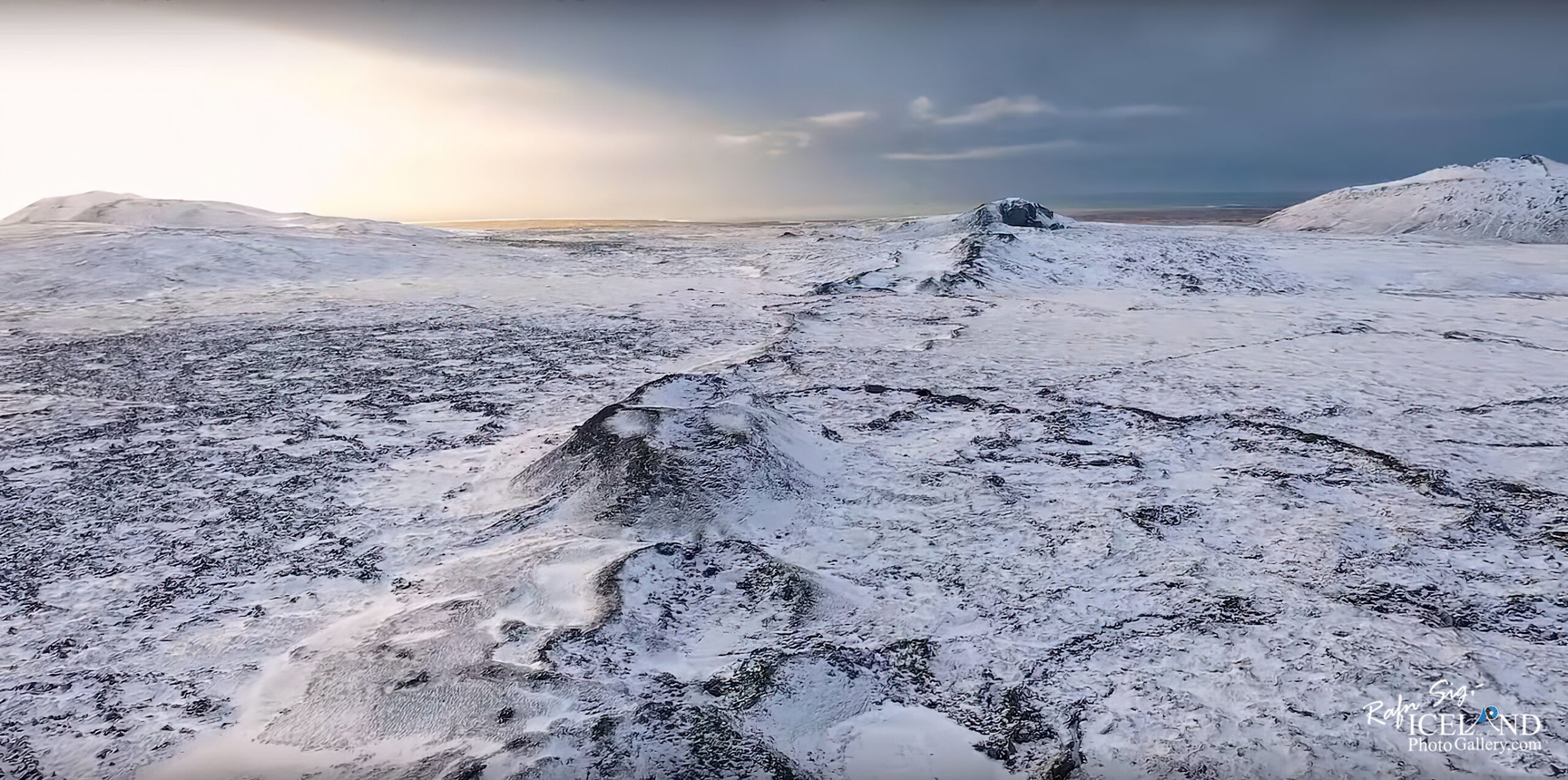
Nýjustu líkönin (2023-11-17) sem reiknuð hafa verið út frá GPS mælingum og gervitunglagögnum benda ennþá til þess að mesta gliðnunin á kvikuganginum sé norður af Grindavík nálægt Hagafelli. Ef kvika nær að brjóta sér leið til yfirborðs, er ennþá líklegast að það verði á því svæði.
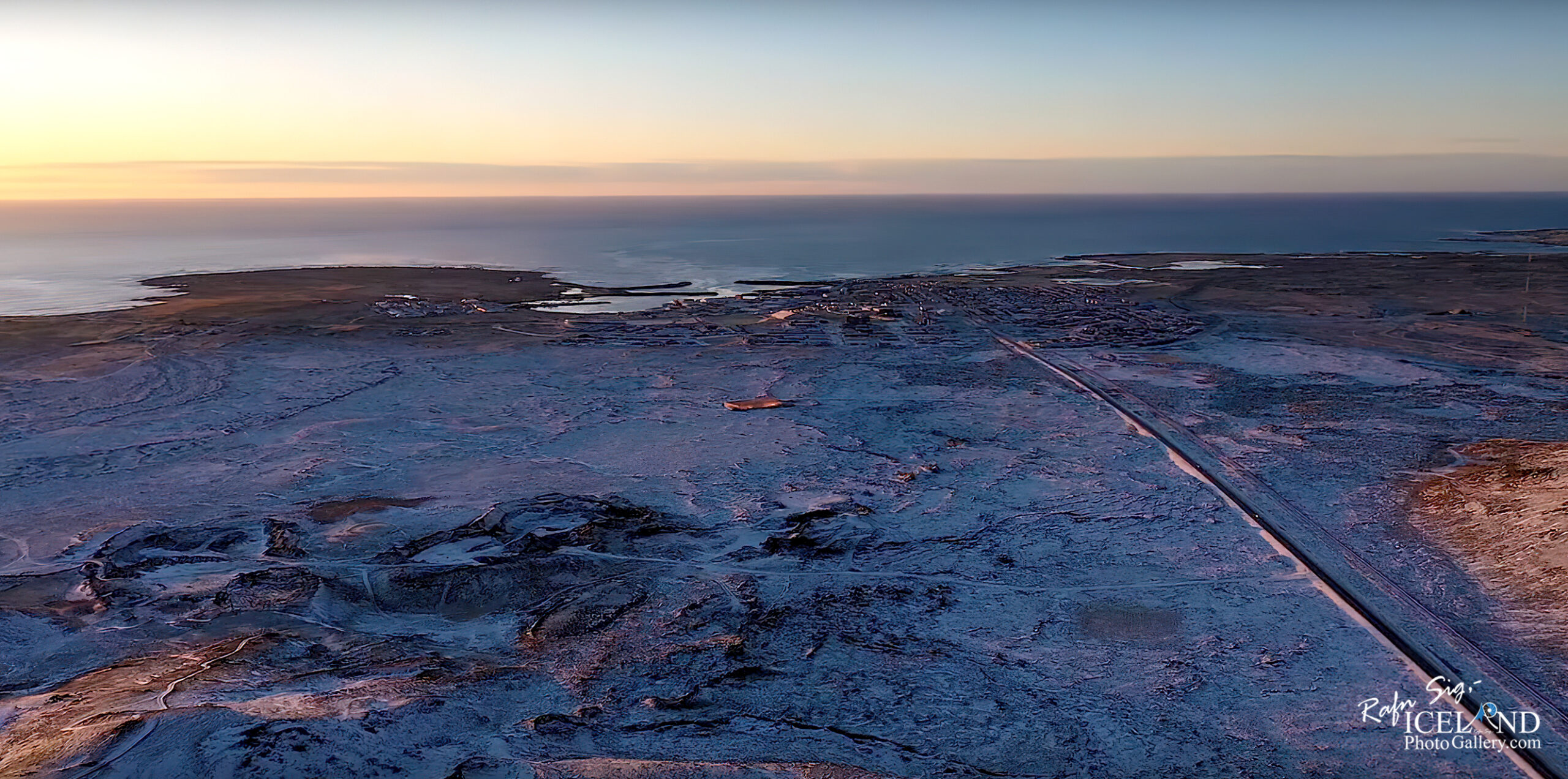
Hagafell liggur norðan Grindavíkur og austur af Þorbirni.
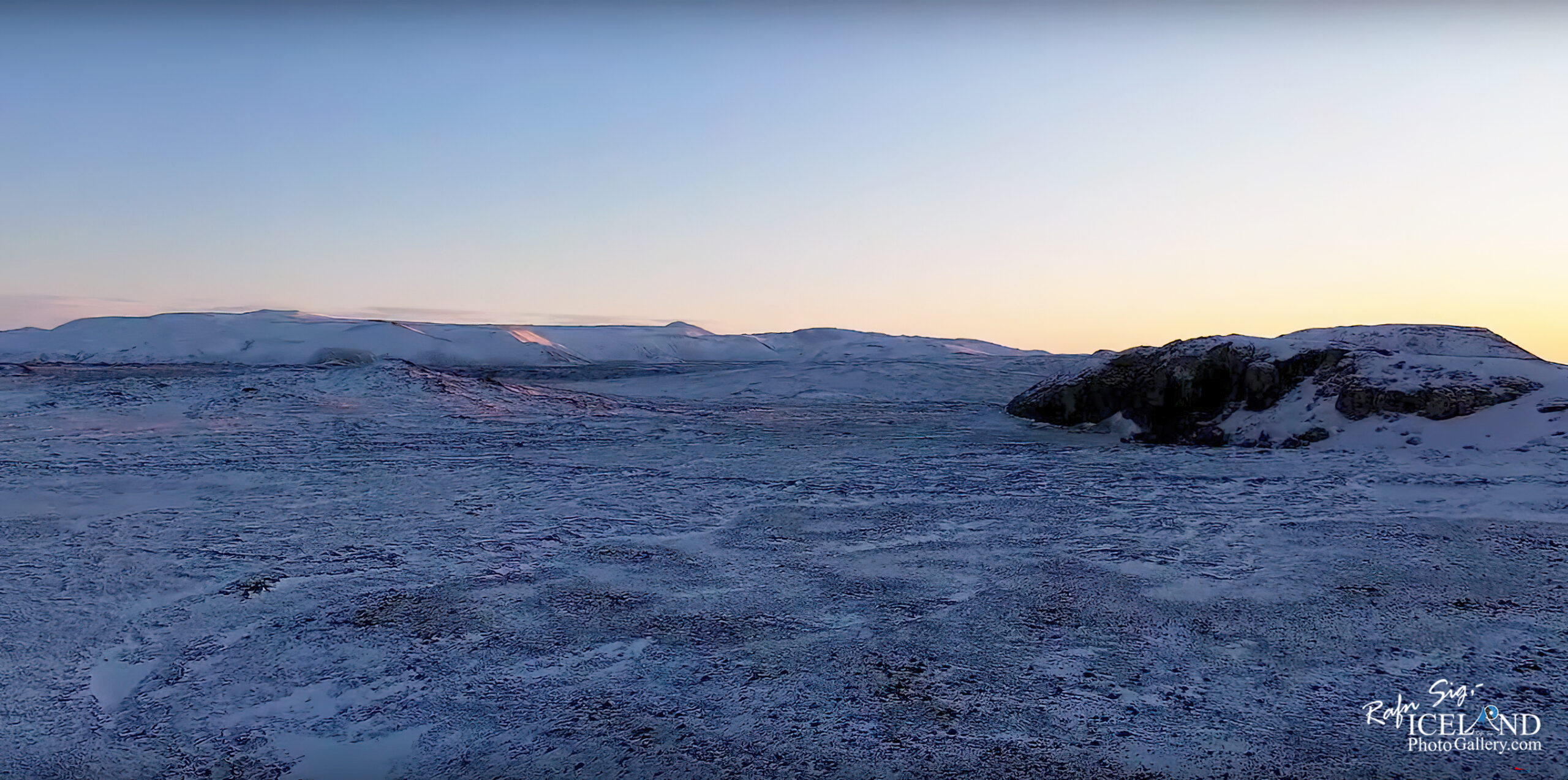
Undan norðanverðu Hagafelli eru háir móbergsklettar sem bera heitið Gálgaklettar. Þjóðsaga hermir að þar hafi yfirvaldið hengt nokkra ræningja skýrslulaust eftir að þeir náðust við heitar laugar undir Þorbjarnafelli, en þeir höfðu haldið til í Þjófagjá í fellinu og herjað þaðan á íbúa þorpsins. Klettarnir fengu nafn sitt af gálgunum sem þar voru reistir.
The latest models (2023-11-17) that have been calculated based on GPS measurements and satellite data still indicate that the greatest slip in the magma tunnel is north of Grindavík near Hagafell. If magma does make its way to the surface, it’s still most likely to be in that area.
Hagafell lies north of Grindavík and east of Þorbjörn volcano.
Beneath the northern side of Hagafell are high tuff cliffs called Gálgaklettar. Legend say that the authorities hanged several bandits there without reporting it after they were caught at the hot pools under Þorbjarnafell, but they had gone to Þjófagjá in the fell and from there attacked the inhabitants of the village. The rocks got their name from the gallows that were erected there.
. . . All info at: https://www.patreon.com/RafnSig


– 0 –
Liked it?
Take a second to support me on Patreon

Viltu styrkja þessa síðu?
Vefsíðan Iceland Photo Gallery er unnin í sjálfboðavinnu. Ef þú hefur áhuga á að styrkja þetta framtak til áframhaldandi uppbyggingar er hægt að leggja inn á:
Reikningsnr.: 0101-26-013169
Kennitala: 310155-4469