
2020-03-07
Documenting Iceland
Seltún Geothermal area │ Iceland Landscape winter twilight Photo from air
by: Rafn Sig,-
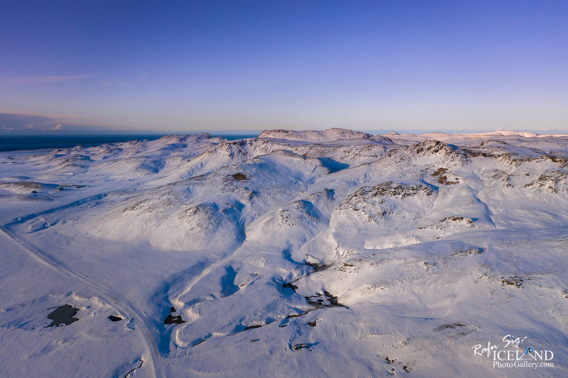
The high-temperature geothermal region Krýsuvík in the south of Reykjanes peninsula encompasses the geothermal areas Sandfell in the west, Trölladyngja in the northwest, Seltún-Sveifluháls in the center and Austurengjar in the east. The latter extends into the south part of lake Kleifarvatn. Especially Seltún-Sveifluháls and to a lesser extent Austurengjar offer fascinating hot spring fields.
Sulphur has been mined at Krýsuvík from time to time. The latest attempt was made in the late 19th century by a British company, which set up its working base here but had to give up soon.
The main sulphur area is a fumarole field in the col to the southwest. At Seltún, there are mud pools and steaming ground where some sulphur and also white and yellowish brown sulphates are deposited. The sulphates dissolve in water and become mottled and disappear in rainy wheather. The largest mud pools are east of the road, one of them almost extinct and filled with mud washed in by the stream from the solfatara creek west of the road.
In the mid-20th century there were plans to develop the geothermal field for utilisation, including power production, and Seltún then became one of the main drilling targets. There are old drill pads to be seen near the path along the creek. The borehole in one of them started erupting intermittently in the winter of 2010, but a few days pass between the eruptions. The outlet has been diverted sideways across the creek.
Another old borehole blew up in 1999 forming a crater with a diameter of about 30 m, now filled by mud except where a flow of steam keeps boiling pits open. The explosion debris covers the slope as a carpet of yellowish mud up to about 100 m to the northeast of the crater.
The water of the pools is surface water heated by steam from a boiling geothermal reservoir underneath. Accompanying gases such as hydrogen sulphide and carbon dioxide acidify the water and alter the rock to clay. Only the uppermost 300 m of the reservoir at Seltún is boiling, i.e., follows the boiling curve in accordance with increasing pressure. Below this depth, a temperature inversion occurs, indicating that the boiling section is fed laterally from an up flow some distance away.
.. . . If you would like to join my team of Documenting Iceland, You are welcome: . . . https://www.patreon.com/RafnSig
You can buy this and other photos at my Icelandic Stock Photo Web: IceStockPhotos.com
Liked it?
Take a second to support me on Patreon

As a native photographer I feel responsible to leave all I can behind to show how it looked like, with my photography, before it’s too late.

Help Support This Blog
This blog is offered free of advertising and corporate sponsors, but needs your support. Making an income in art and writing is not easy or consistent. If you find these essays useful, please consider showing your appreciation by making a small donation.


0 Comments