2023-10-22
Þóristindur (Thoristindur) │ Iceland Photo Gallery
Documenting Iceland
by: Rafn Sig,-

Þórir var og útilegumaður; hann hafðist við á Þóristungum, millum Köldukvíslar og Tungnaár, og lifði af veiði í Fiskivötnum. Af hans nafni eru dregin þessi örnefni: fjallið Þóristindur, lækurinn Þórisós, Þórisvatn, og svæðið sem kallað er Þóristungur þó það komi ekki heim við þá sögusögn sem segir að þórisvatn dragi nafn af Þóri syni Þórálfs þess sem Ármanns saga getur um að hafi tryllzt. Skúmur var enn nefndur útilegumaður. Hann hafðist við í Skúmstungum, milli lækja tveggja fyrir vestan Þjórsá, og dregur svæðið nafn af honum.
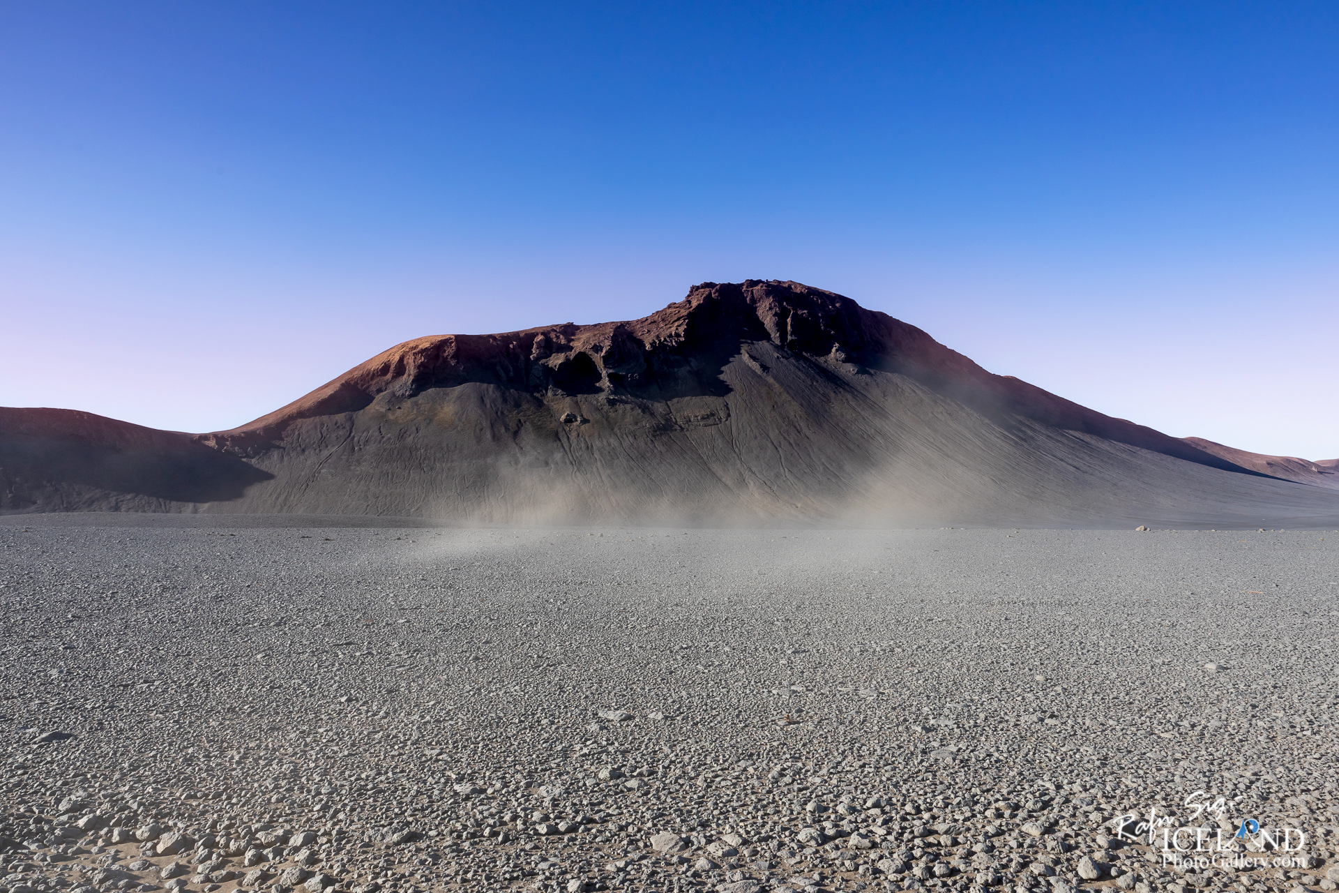
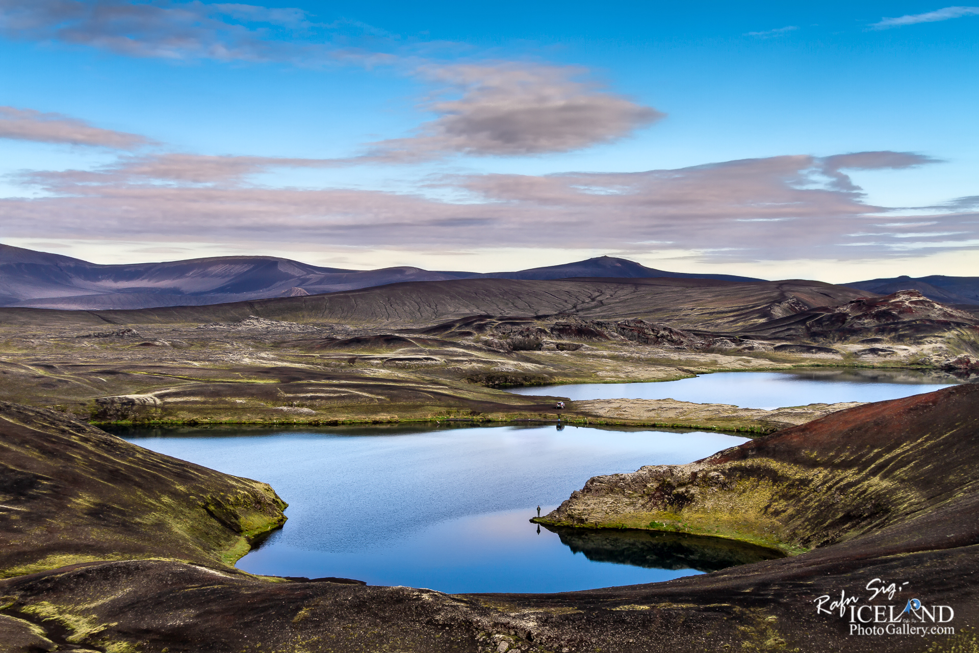
The peak of Þóristindur (Thóristindur) rises between the Highland Center at Hrauneyjar and Veiðivötn. The mountain is of volcanic origin, it is a “móbergshryggur” (tuff ridge) which is indicative of a sub-glacial eruption. A path has been marked off. It is short but rather strenuous, taking about 2 hours. From the road to Veiðivötn it is best to head to the pass between the highest peak and the next one to the east. The path goes over steep scree before turning to the highest point. It is best to proceed carefully and to use a stick for support. The mountain has a wide base rising from Lake Þórisvatn to a narrower peak 822 meters above sea level that is visible over a wide area and easily recognizable by its rocky shape. In clear weather the view from the top is stupendous. Þóristindur is named for the outlaw Þórir (Thórir) who once lived at Þóristunga and who has given his name to other places in the area like Lake Þórisvatn and Þórisós estuary.
. . . All info at: https://www.patreon.com/RafnSig


– 0 –
Liked it?
Take a second to support me on Patreon

Viltu styrkja þessa síðu?
Vefsíðan Iceland Photo Gallery er unnin í sjálfboðavinnu. Ef þú hefur áhuga á að styrkja þetta framtak til áframhaldandi uppbyggingar er hægt að leggja inn á:
Reikningsnr.: 0101-26-013169
Kennitala: 310155-4469