
2022-03-12
Veiðivötn Lakes │ Iceland Photo Gallery
Documenting Iceland
by: Rafn Sig,-
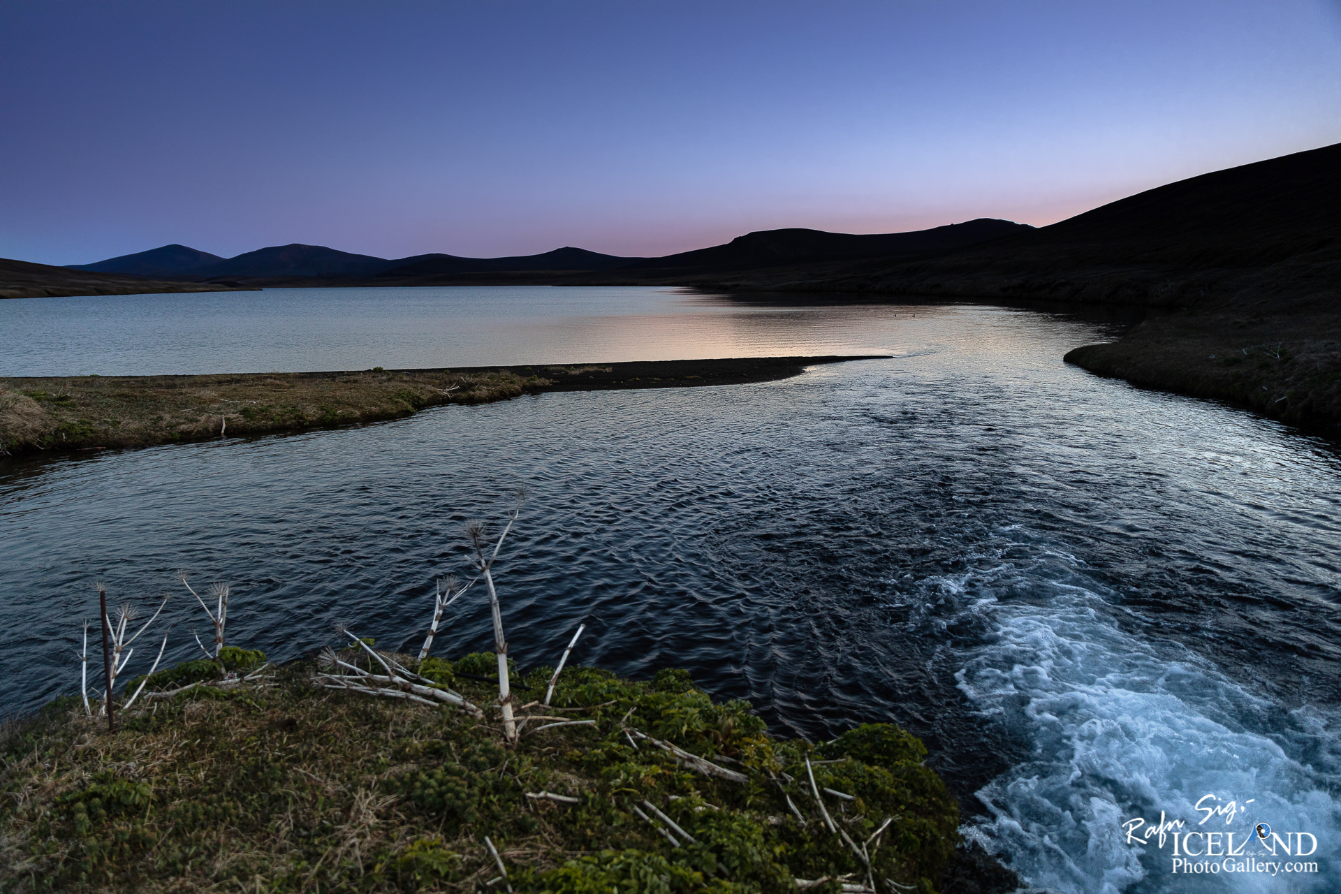
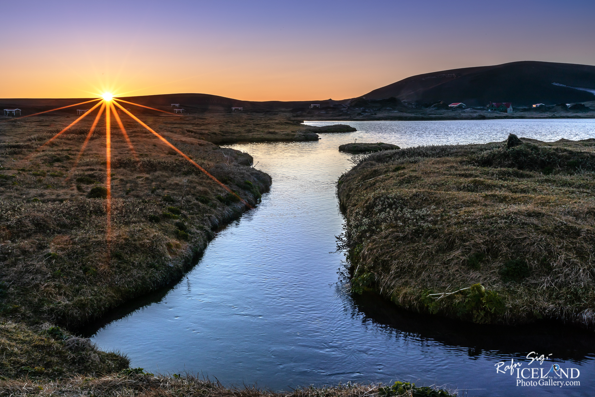
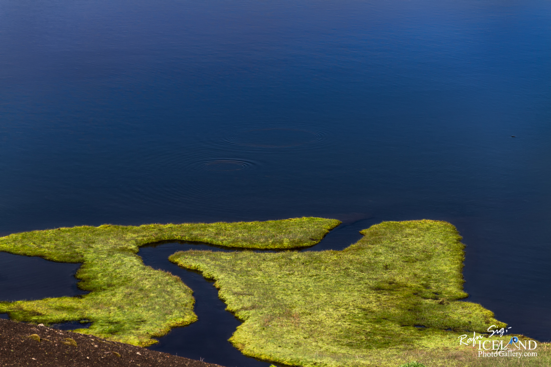
Veiðivötn eru vatnaklasi á Landmannaafrétti milli Þórisvatns og Tungnaár, sem samanstendur af allt að fimmtíu vötnum, bæði smáum og stórum. Veiðivatnasvæðið er u.þ.b. 20 km langt og 5 km breitt frá suðvestri til norðausturs.
Mörg vötnin eru sprengigígar sem mynduðust í Veiðivatnagosinu 1477, t.d. Hnausapollur og Ljótipollur. Vatnaklasinn verð til í núverandi mynd í þessu eldgosi. Fjölmörg eldgos hafa orðið á Veiðivatnasvæðinu frá því ísöld lauk, t.d. gosið í Vatnaöldum í upphafi landnámstíðar (um 870) en þá myndaðist landnámsgjóskulagið. Tungnárhraunin, þar á meðal Þjórsárhraunið mikla, eru upprunnin frá Veiðivatnasvæðinu.
Veiðivötn are a cluster of Lakes on Landmannaafrétti between Þórisvatn and Tungnaá, which consists of up to fifty lakes, both small and large. The Veiðivötn area is approx. 20 km long and 5 km wide from southwest to northeast.
Many of the lakes are explosive craters that formed in the Veiðivötn eruption in 1477, e.g. Hnausapollur and Ljótipollur. The water cluster exists in its current form in this eruption. Numerous eruptions have occurred in the Veiðivötn area since the end of the ice age, e.g. the eruption in Vatnaöldur at the beginning of the settlement period (around 870) but then the settlement pyroclastic layer was formed. The Tungnár lava flows, including the great Þjórsá lava field, originate from the Veiðivötn area.
. . . All info at: https://www.patreon.com/RafnSig
Subscribe to my Youtube Channel
You can buy this and other photos at my Icelandic Stock Photo Web: IcelandStockPhotos.com
Liked it?
Take a second to support me on Patreon

As a native photographer I feel responsible to leave all I can behind to show how it looked like, with my photography, before it’s too late.


0 Comments