
2020-01-22
Documenting Iceland
Vík village and the Black Beach │ Iceland Winter Landscape Photo
by: Rafn Sig,-
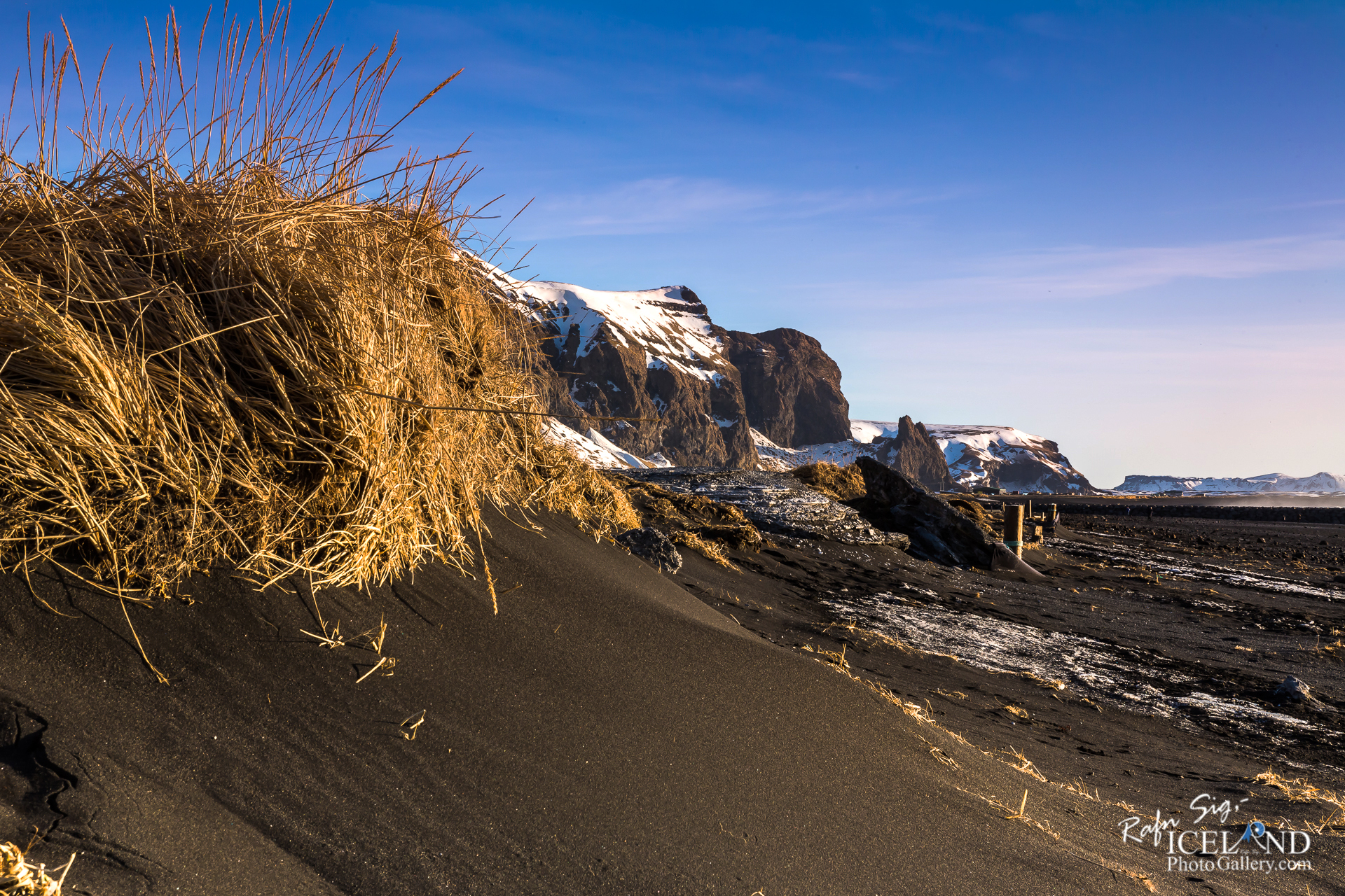
Mýrdalshreppur region is one of three municipalities in Katla UNESCO GLOBAL Geopark. Vik is the central town in the Geopark and has developed as an important local commercial centre and service for the travel industry. Mýrdalur is the southernmost district of Iceland, bordered by the glacial river Jökulsá to the west and the river Blautakvísl to the east. Its northern border is the Mýrdalsjökull glacier (700 km2, Iceland’s fourth largest glacier). Approximately 600 metres below the ice lies the dormant subglacial volcano Katla which the Geopark is named after. Its southern limits are black sands and the rolling Atlantic waves. Vik is the only seaside settlement in Iceland left without a harbour due to natural circumstances. Nevertheless, Vík’s inhabitants used to go fishing and got products from ship before the roads were imposed in 1939.
.. . . If you would like to join my team of Documenting Iceland, You are welcome: . . . https://www.patreon.com/RafnSig
You can buy this and other photos at my Icelandic Stock Photo Web: IceStockPhotos.com
Liked it?
Take a second to support me on Patreon

As a native photographer I feel responsible to leave all I can behind to show how it looked like, with my photography, before it’s too late.

Help Support This Blog
This blog is offered free of advertising and corporate sponsors, but needs your support. Making an income in art and writing is not easy or consistent. If you find these essays useful, please consider showing your appreciation by making a small donation.


0 Comments